On September 28 - September 29, 2017, Professor Jordi J. Mallorqui from the Catalonian Polytechnic University (Spain) gave lessons for the Surveying and Mapping Engineering (Excellent Engineers) in our School. It took two days to complete the lessons which were divided into three parts: DInSAR processing of high resolution and polarimetric data, InSAR technique, DInSAR technique.
Part 1, Professor Jordi introduced the development and application of DInSAR technique from four aspects in detail. First, he summarized the development of microwave imaging technology in the past 30 years, from antenna imaging technology to microwave tomography to SAR imaging. Then he described his work on radar systems, including RISKSAR, ARBERS and SABRINA developed by Catalonian Polytechnic University. Afterwards, Prof. Jordi gave a detailed explanation on the generation of InSAR interferograms, the focus of the original SAR data, the application of DInSAR for monitoring landslides and settlements, and monitoring the deformation by using 1-D radar with high precision. Finally, Professor Jordi made his own suggestions on the study and research of microwave remote sensing.
Part 2, Professor Jordi introduced the principles and application of InSAR technology from three aspects in detail. First of all, he described some basic concepts of active microwave imaging. Then he focused on the basic principles and data processing methods of InSAR measurement technology, and demonstrated and analyzed the results of each processing step. Finally, he discussed the factors affecting the accuracy of InSAR measurement techniques together with students.
Part 3, Professor Jordi gave a detailed introduction of the principles of DInSAR technology. He firstly described the application fields and advantages of DInSAR technology. Then he gave an introduction to the basic principles and data processing methods of DInSAR measurement technology and analyzed the error influencing factors such as time baseline, space baseline, atmosphere and ionosphere. Finally, He gave a detailed explanation of the principles of time series DInSAR technology and showed the monitoring results of typical areas.
Professor Jordi J. Mallorqui has a long career in the InSAR measurement methods of surface deformation monitoring based on aerospace, aviation and ground data; SAR image classification methods; 3D electromagnetic simulation of SAR systems; and design and development of SAR interference systems of small UAVs for surface deformation and landslide monitoring and other aspects work. He has rich teaching and research experience. This lecture expanded visions of teachers and students in microwave remote sensing, DInSAR deformation monitoring and other fields. Meanwhile, it strengthened the connection between our school and foreign universities in teaching, research and other aspects, and promoted our brand specialty in Jiangsu Province, Jiangsu Provincial Advantage Discipline, Surveying and Mapping Engineering Excellenct Engineer and other projects of international construction and exchange. In conclusion, the lecture was very successful and achieved good results.

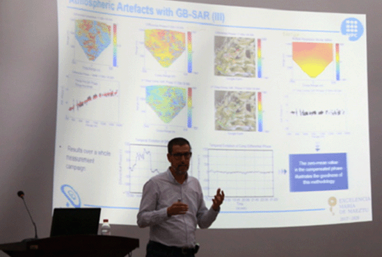
Professor Jordi J. Mallorqui is teaching

The site in class